However, I'm back with only a phase check and a practical test to accomplish. I'm that close!
This last Sunday we had brilliant weather for flying. Clear, calm and cool. I got to the airport a 6am, pre-flighted, planned and pottied; and was in the air by 7am. It had been over a month since by last PIC flight, so I started with quick trip around the pattern on runway 19. Then taxied and took off straight out on runway 1.
My mission was to practice a VFR cross country (that's using NO GPS) and using my E6B in flight. I wasn't endorsed to land anywhere other than O02 (Beckwourth) and KRNO. So I devised a route around the Northern Sierra that kept O02 in sight but gave me good checkpoints and 116nm. Below is my flight plan and results. Let's call it the score card.

OK, here we go. Feet off the brakes, full throttle (smoothly), airspeed active, engine instruments in the green, V1, rotate...
Two hot air balloons enjoying the same weather as I. This is just after take off, straight out runway 1, looking west over Prosser Reservoir
Looking back on Stampede Reservoir, my first checkpoint.
Checkpoint #2, the small but lovely town of Loyalton, CA. The area beyond Loyalton, in the background is called the Sierra Valley. It is also our practice area. Good roads and circular fields to practice patterns and turns about a point.
Beckwourth pass, checkpoint #3. Looking East from my route.
Frenchmen's Lake was checkpoint #4.
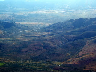
The Herlong airport is in the frame, but hard to see as the airport is roughly the same color as the surrounding dirt. Can you find it? I did, but I was almost on top of it before I did.
Lake Davis off my left shoulder, but still a checkpoint.
Gansner airport, Quincy CA. This is a mildly challenging airport to get in and out of. The airport is surrounded by mountains in all directions. I look forward to landing here once I get my ticket.
Checkpoint Cromberg, I think. It was hard to find it so I guessed. The checkpoint was on the starboard side of the aircraft, which is difficult to see from the pilots seat. Choosing a checkpoint you can see from the pilots window is good, when you can manage it.
And the destination, Beckwourth/Nervino O02. Here I took a break, used the poddy and ate a banana. Then I took off to KRNO for practice in Charlie class airspace and a towered full stop landing, even though I don't need it for my license. I like flying into big airports, for me it is fun.
See you next time. I have a "phase check" for next week, it's like a PSAT for pilots. Then time to schedule the practical!!!!


